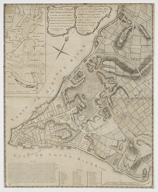
A Plan of the City of New-York & its Environs, to Greenwich, on the North, or Hudsons River, and to Crown Point on the East, or Sound River, Shewing the Several Street, Publick Buildings, Docks, Fort, & Battery, with the true Form & Course of the Commanding Grounds with and without the Town, Survey'd in Winter 1766-66 [The Montresor Plan]
Peter Andrews · 1768
![A Plan of the City of New-York & its Environs, to Greenwich, on the North, or Hudsons River, and to Crown Point on the East, or Sound River, Shewing the Several Street, Publick Buildings, Docks, Fort, & Battery, with the true Form & Course of the Commanding Grounds with and without the Town, Survey'd in Winter 1766-66 [The Montresor Plan]](https://images.metmuseum.org/CRDImages/dp/web-large/DP-44831-001.jpg)
Etching and engraving; first state